NowHourly15 daysMeteogramLive SatelliteMapsDaily History

Glencoe Stream: Warning for severe weather conditions

icon-forecast

Heavy rain

Severe weather conditions expected:  Monday, October 6, 2025

Glencoe Stream, New ZealandWeather forecast for the next 15 days


C
Now

Glencoe Stream - 15day weather forecast

Today

icon-forecast-30
3°
15 km/h
Partly cloudy with a chance of rain.
precipitation2.4mm

Tomorrow

icon-forecast-33
2°
19 km/h
Heavy rain showers with clear periods.
precipitation39mm

Tue

07 Oct

icon-forecast-41
1°
14 km/h
Light sleet or snow showers with clear spells.
precipitation7.6mm

Wed

08 Oct

icon-forecast-7
3°
13 km/h
Rain showers.
precipitation11.3mm

Thu

09 Oct

icon-forecast-8
5°
17 km/h
Cloudy with periods of heavy rain.
precipitation22.3mm

Fri

10 Oct

icon-forecast-11
10°5°
30 km/h
Cloudy and rainy with chance of heavy thunderstorm. Strong winds.
precipitation74mm

Sat

11 Oct

icon-forecast-8
4°
30 km/h
Heavy rain. Strong winds.
precipitation53.1mm

Sun

12 Oct

icon-forecast-37
1°
15 km/h
Rain or sleet showers with clear spells.
precipitation12.8mm

Mon

13 Oct

icon-forecast-33
1°
19 km/h
Heavy rain showers with clear periods.
precipitation69.8mm

Tue

14 Oct

icon-forecast-14
2°
21 km/h
Rain or sleet.
precipitation62.7mm

Wed

15 Oct

icon-forecast-45
-3°
21 km/h
Partly cloudy with a chance of snow showers. Frost.
precipitation41.5mm

Thu

16 Oct

icon-forecast-35
-3°
16 km/h
Partly cloudy with a chance of rain or sleet showers. Frost.
precipitation1.6mm

Fri

17 Oct

icon-forecast-8
10°3°
24 km/h
Heavy rain.
precipitation136.9mm

Sat

18 Oct

icon-forecast-7
3°
16 km/h
Rain showers.
precipitation14.2mm

Sun

19 Oct

icon-forecast-32
3°
14 km/h
Rain with clear spells.
precipitation9.2mm

Glencoe Stream: The temperature for the next 15 days


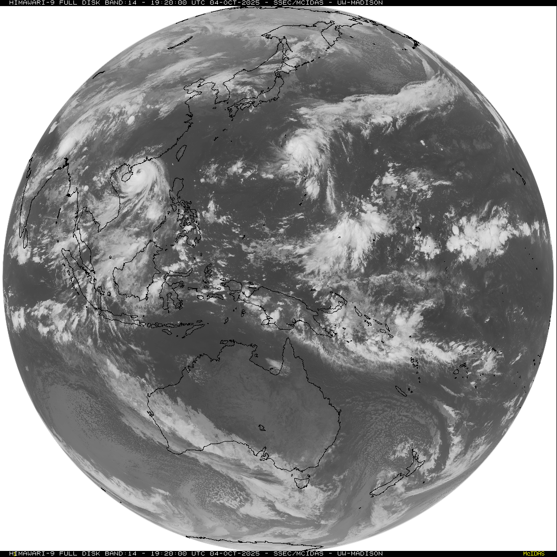
Glencoe Stream: Live Satellite


Live Satellite

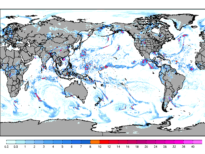
Glencoe Stream: Weather maps


Maps

Weather Glencoe Stream: Read more


Available languages: english